Business News
Govt to launch NAKSHA project on Feb 18: How does it work? Why is it important for urban land survey
.png)
3 min read | Updated on February 17, 2025, 14:23 IST


SUMMARY
Union Minister Shivraj Singh Chouhan will inaugurate the National Geospatial Knowledge-based Land Survey of Urban Habitations (NAKSHA) pilot project on February 18.
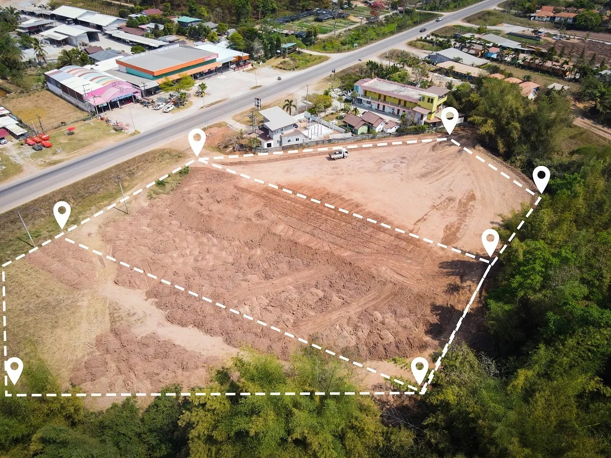
National Geospatial Knowledge-based Land Survey of Urban Habitations (NAKSHA) pilot project aims to modernise urban land records using geospatial technology. (Image: Shutterstock)
Union minister Shivraj Singh Chouhan will inaugurate the National Geospatial Knowledge-based Land Survey of Urban Habitations (NAKSHA) pilot project in 152 Urban Local Bodies (ULBs) across 26 states and three Union Territories on Tuesday, February 18.
The inauguration will include drone demonstrations, the launch of a Standard Operating Procedure (SoP) booklet, a program video, and a flyer on the NAKSHA initiative. The event will also witness the flagging off of the Watershed Development Component (WDC) Yatra, the screening of a WDC video, and the playing of the Watershed Anthem.
Union Minister of State for Rural Development & Communications Chandra Sekhar Pemmasani, Madhya Pradesh Chief Minister Mohan Yadav, Revenue Minister Karan Singh Verma, Minister for Panchayati Raj and Rural Development Prahlad Singh Patel, and other senior officials will be present at the event.
What is the NAKSHA project?
The National Geospatial Knowledge-based Land Survey of Urban Habitations (NAKSHA) is an initiative by the Department of Land Resources under the Ministry of Rural Development to modernise urban land records through geospatial technology. The project is designed to create and update accurate documentation of land ownership, helping resolve land disputes, streamline property records, and enhance urban planning. The project is fully funded by the Centre, with an estimated cost of ₹194 crore.
How does NAKSHA work?
NAKSHA integrates cutting-edge geospatial technologies with land record management. The Survey of India, serving as the technical partner, will conduct aerial surveys and provide orthorectified imagery through third-party vendors. These high-precision images will be utilised by state and UT governments for field surveys and ground verification, ultimately leading to the finalisation of urban and semi-urban land records.
An end-to-end web-GIS platform will be developed by the Madhya Pradesh State Electronics Development Corporation (MPSEDC) to manage land data efficiently. The National Informatics Centre Services Inc. (NICSI) will provide secure storage facilities for the collected data.
Why is NAKSHA important?
Urban land disputes and ambiguous property records have long been a challenge in India.
The NAKSHA project aims to provide clarity on ownership and property rights, reduce land-related conflicts, improve ease of living for urban residents, enhance transparency in land administration, and facilitate sustainable urban development through accurate land mapping.
The project is in line with the Digital India Land Records Modernization Programme (DILRMP), which has been operational since 2016-17 and is set to continue until March 2026. The DILRMP, supported by 100% central funding, aims to digitise land records and registration processes, minimizing fraudulent transactions and ownership disputes.
By signing up you agree to Upstox’s Terms & Conditions
About The Author
Next Story